
As the books say, the bush is a vast area of Alaska that is not readily accessible. The Artic is listed as one of these areas so I guess we are heading bush. Leaving our RV in Fairbanks we hopped into Troopy for our trip to the tip of Alaksa. 490 miles along the Dalton Highway from Fairbanks to Deadhorse near Prudhoe Bay. Deadhorse is very much about oil production, transport and support services.
A prearranged tour of the Oil fields was made when we arrived at Fairbanks visitors centre as a security check is required 24 hours prior to taking the tour. This tour is the only way you can access the Artic Ocean
The road was a mix of bitumen, rough gravel, corrugates, washes and ice heaves but in far better a condition than what we had expected making travel reasonably easy. This road is maintained as it is the only driveable access to Prudhoe Bay, the largest oil field in America and is where the Trans Alaskan oil Pipeline begins.
The countryside was magnificent with the highlights being the Artic Cirle and our travels through Brookes range crossing Atigun Pass at 4752 ft. As we neared Deadhorse the country opened out to treeless plains covered in cotton grass and wildflowers. The sag river winds its way out to the Bering Sea and a Herd of Carribou grazed in the open. At many points the road followed the pipeline along before it would disappear under ground and we would come across it again few a mile further up the road.
About 48 mile out of Prudhoe Bay we picked up a gentleman who had fallen off his motorbike and had injured his leg and had concussion. We took him with us the rest of the distance into Deadhorse where we organised medical assistance for him leaving his bike behind but bringing his valuables.
We did not expect to get to the tip in one day so had to make changes to our hotel reservation and tour. We were lucky that there was an available room for Russ and I so we bought our booking forward a night. Geoff and Kienny camped in troopy in the car park. We were also able to change our tour to 8 am the following morning instead of 5pm which is what we had booked.
After the 2 hour tour was finished we headed back along the Dalton to Fairbanks. The return journey was just as interesting although we travelled through some rain and fog. We were lucky enough to see a black bear.
Arriving in town at 11.15pm, we had dinner at the northern most “Denny’s” before gratefully putting our heads on the pillows at the end of Two wonderful days. Geoff and Kienny excited that they had travelled from the most southern to the most northern point in America and Russ and I equally pleased that we had the opportunity to experience the Artic.
We had a few things we need to do before leaving Fairbanks and as it was the 4th July many shops were closed so we had a lazy day sharing in the independence day celebrations at Pioneer park, (and all conveniently located next door to our RV).
Pioneer park contains all the historical buildings that have been moved here from the town of Fairbanks and within the buildings is information, museums and gift stores.
Where to next ... On our way back to Canada but first we will be going to the NORTH POLE...
 |
| Artic Circle |
 |
| Brookes range |
 |
| Bus tour of Oil fields and Artic Ocean |
 |
| Caribou |
 |
| Brookes Range |
 |
| Dalton Highway |
 |
| Dalton Lake |
 |
| Denny Diner |
 |
| Dalton Highwy |
 |
| Finger Mountain |
 |
| Finger Mountain |
 |
| Geoff & Kienny amoung the cotton flower |
 |
| Historic Railway at Pioneer Park |
 |
| Ice Machinery |
 |
| Kitty Henley Historical House |
 |
| Koyukuk River |
 |
| Koyukuk River |
 |
| Nilichik River |
 |
| Pioneer Park lake |
 |
| Pioneer Park |
 |
| Pipeline |
 |
| Dalton Highway and Pipeline |
 |
| 2 caribou |
 |
| To Prudhoe Bay |
 |
| Prudhoe Bay Hotel |
 |
| Russ and Rob at Artic Ocean |
 |
| Russ and Rob in the wildflowers |
 |
| Lakes |
 |
| Snow in Crevice |
 |
| Squirrell |
 |
| Troopy on the Dalton |
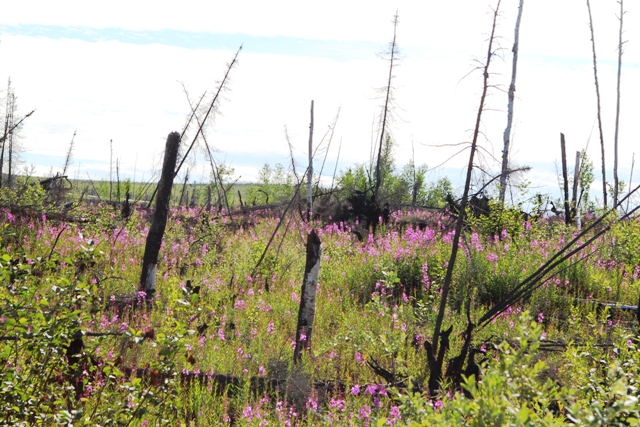 |
| wildflowers |
 |
| Wildflowers |
 |
| Snow capped Mountains |
 |
| Sun through rain clouds |
 |
| Wiseman |
 |
| Historical home in Wiseman |
 |
| Trucker on the Dalton |
No comments:
Post a Comment